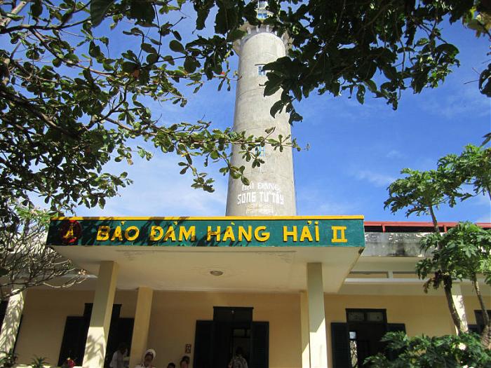
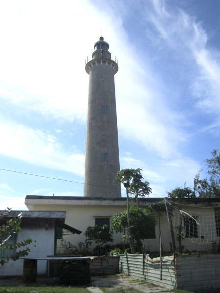
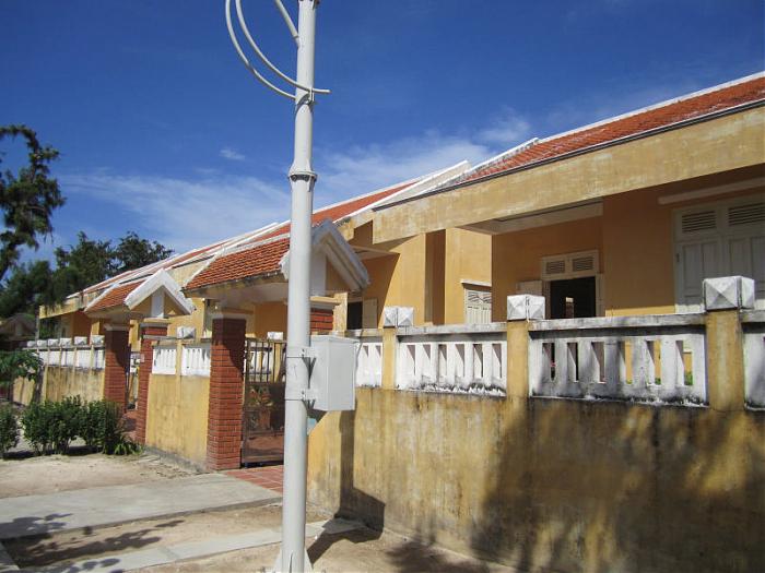
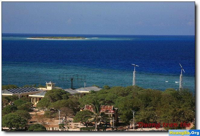
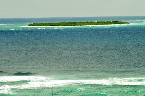
Group of two islands situated at latitude 111o29' north and longitude 114o21' east of Greenwich, with their dependent isles (36) (Possession taken April 10, 1933).
The above-mentioned isles and islets henceforward come under French sovereignty (this notice cancels the previous notice inserted in the Official Journal dated July 25, 1933, page 7784).
In 1939, Japan occupied these islands until the end of World War II.
In 1956, French transferred these islands to South Vietnam.
In 1959, South Vietnam Government renamed "Song Tử" (meaning twin because two islands very similar together) with "Tây" (meaning west) and "Đông" (meaning East) to identify them.They was annexed to Phuoc Tuy province, South Vietnam.
On May 24, 1963, the sovereignty steles were rebuilt on Song Tu Dong (North East Cay) and Song Tu Tay (South West Cay) by crew members of the three vessels Huong Giang, Chi Lang and Ky Hoa of the South Vietnam.
In 1968, Philippines troop occupied Northeast Cay (Parola Island, Song Tu Dong) and Southwest Cay (Pugad Island, Song Tu Tay). In 1975, Southwest Cay was captured by South Vietnam and was taken over by later unified Vietnam. The Philippines continued to occupying the Northeast Cay until now.
In 1975, a party was held for the Philippine commanding officer at Northeast Cay. Philippine forces guarding the Southwest Cay attended the party and upon their return, found that the South Vietnamese, who were then allies, had occupied the island in their absence.
In April 1975, there was a skirmish between the South Vietnamese Navy and North Vietnam task force on this island. The North Vietnam task force won and occupied the island. Some of the South Vietnamese who had taken over the island from the Philippines fled Southwest Cay and swam to Northeast Cay to seek refuge.


 LinkBack URL
 About LinkBacks


 Répondre avec citation
